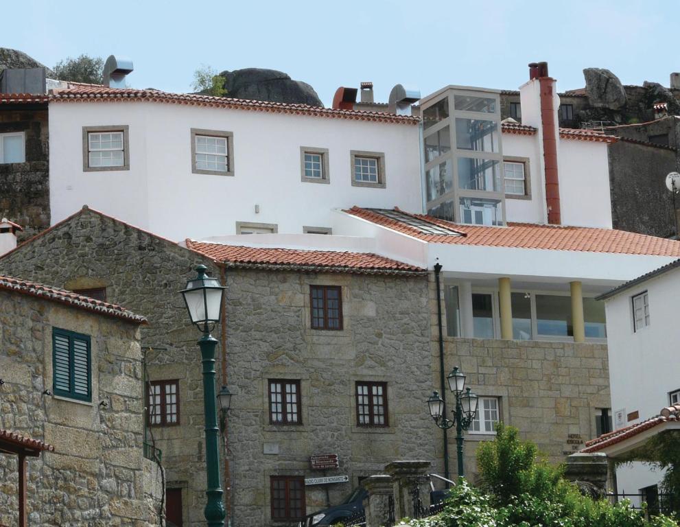
ALL · EMJ Route 127 · Extremadura & Serra da Estrela Grand Loop
The journey
Grand loop from Plasencia through Las Hurdes, Sierra de Gata, Beira Interior and Serra da Estrela before returning through Monsanto, the Portuguese–Spanish border country, Moraleja and Coria.
Route sequence: Plasencia → Hervás → La Alberca → Las Hurdes → Pinofranqueado → Robledillo de Gata → Gata → Hoyos → San Martín de Trevejo → Penamacor → Sortelha → Belmonte → Covilhã → Penhas da Saúde → Torre → Fundão → Castelo Novo → Monsanto → Idanha-a-Velha → Termas de Monfortinho → Moraleja → Coria → Plasencia
Total distance: approximately 844 km.
Stage 1 · Plasencia → Pinofranqueado · 170 km / 106 mi
The ride
The opening stage leaves Plasencia for the greener northern edge of Extremadura, trading broad valley roads for increasingly intimate mountain country. Hervás introduces historic streets before the route climbs towards La Alberca and the Sierra de Francia landscape. Forest shade, changing gradients and repeated viewpoints reward a measured pace. The road then enters Las Hurdes, where small settlements and narrow valleys create a remote riding atmosphere. This is a scenery-first day rather than a speed exercise. Keep fuel opportunities in mind away from larger towns and allow extra time for short photographic stops. The final approach to Pinofranqueado relaxes the rhythm and provides useful services for the evening. Temperatures can fall quickly in the uplands outside midsummer, while shaded bends may remain damp after rain. The combination of heritage villages, wooded roads and quieter regional links makes this a varied introduction to the cross-border journey. Ride smoothly, preserve daylight, and
Plan the day around daylight, weather and the character of the secondary roads.
Recheck before riding
01 · Riding timeline
Riding Timeline
170 km / 106 miDepart 08:30≈ 3.5 h movingElapsed ≈ 6–7 h
Plasencia≈ 0 km · Start with a full tank and leave the city before traffic builds.
Hervás≈ 46 km · Coffee/photo stop in the historic quarter.
La Alberca≈ 92 km · Main cultural stop; Repsol fuel available on the approach.
Las Hurdes≈ 132 km · Slow scenic section through the upper valleys.
Pinofranqueado≈ 170 km · Arrival, refuel if required and settle in before the evening walk.
Times are planning estimates; stops and live conditions change elapsed time.
Rider Effort Profile
Effort 3/5Pillion: Good
Repeated bends and rural surfaces require steady concentration; with a pillion, increase braking margin and reduce pace on narrow approaches.
Fuel Plan
Primary: Repsol E.S. La Alberca at ≈ 92 km from Stage start (92 km from route start); Route-adjacent Backup: Rolo Service Station, Caminomorisco at ≈ 140 km from Stage start (140 km from route start); ≈ 19.9 km geometric offset from track; verify road detour.
Critical Sections
Narrow secondary roads, village approaches, shaded bends and agricultural traffic require a measured pace.
Bad-weather / Closure Plan
Follow signed lower regional corridors when mountain access or visibility makes the intended road unsuitable.
Last Conditions Check
Recheck before riding. Confirm current road access, mountain weather and local service opening hours immediately before departure.
Las Hurdes is a strong mountain-food stop. Look for cabrito hurdano, patatas meneás, migas extremeñas, local embutidos, goat and sheep cheeses, chestnut products and the region’s distinctive honey. Seasonal cherries and woodland products also appear locally. For a drink after the bike is parked, ask for Extremaduran wines or local liqueurs; keep tastings for the evening.
Activities
Las Hurdes cultural landscape
Named destination-area experience. Verify current access and opening conditions before visiting.
Finish with the riverside promenade and public-art setting, a relaxed place for a short post-ride stroll before dinner.
Stage 2 · Pinofranqueado → San Martín de Trevejo · 168 km / 104 mi
The ride
The second stage explores the strongest Spanish mountain character of the journey, linking Las Hurdes with Sierra de Gata. The road rhythm changes constantly between wooded valleys, open ridges and compact villages. Robledillo de Gata is a natural pause, with steep lanes and traditional architecture, before the route sweeps through Gata and Hoyos. The riding is technical rather than fast, and secondary-road surfaces deserve attention after storms or agricultural traffic. San Martín de Trevejo provides a memorable arrival close to the Portuguese frontier, with stone houses, small squares and a distinctive local identity. Avoid rushing the final hour: the pleasure comes from maintaining flow through repeated bends and allowing time for viewpoints. Livestock, village traffic and shaded corners are the main practical cautions. The stage remains entirely about continuity through the landscape, without unnecessary sightseeing detours that would interrupt the natural westward progression of the route. Ride smoothly, preserve daylight,
Pinofranqueado → San Martín de Trevejo riding brief
Plan the day around daylight, weather and the character of the secondary roads.
Recheck before riding
01 · Riding timeline
Riding Timeline
168 km / 104 miDepart 08:30≈ 3.5 h movingElapsed ≈ 6–7 h
Pinofranqueado≈ 0 km · Depart after breakfast; check fuel before entering the quieter Sierra de Gata roads.
Robledillo de Gata≈ 43 km · Photo and short village stop.
Gata≈ 82 km · Coffee stop and historic-centre pause.
Hoyos≈ 118 km · Service/fuel decision point before the western sector.
San Martín de Trevejo≈ 168 km · Arrival with time for the stone lanes and central square.
Times are planning estimates; stops and live conditions change elapsed time.
Rider Effort Profile
Effort 3/5Pillion: Good
Repeated bends and rural surfaces require steady concentration; with a pillion, increase braking margin and reduce pace on narrow approaches.
Fuel Plan
Primary: Station Pinofranqueado at ≈ 104 km from Stage start (272 km from route start); ≈ 11.2 km geometric offset from track; verify road detour. Backup: Meroil Valverde del Fresno at ≈ 142 km from Stage start (310 km from route start); Route-adjacent
Critical Sections
Narrow secondary roads, village approaches, shaded bends and agricultural traffic require a measured pace.
Bad-weather / Closure Plan
Follow signed lower regional corridors when mountain access or visibility makes the intended road unsuitable.
Last Conditions Check
Recheck before riding. Confirm current road access, mountain weather and local service opening hours immediately before departure.
Verified property in San Martín de Trevejo. Free private parking is listed. Covered motorcycle parking is not verified — confirm directly before booking.
Sierra de Gata brings a different Extremaduran table: extra-virgin olive oil, ibérico pork and cured meats, goat cheese, migas, caldereta and traditional stews are natural choices. Seek local pastries and honey, and look for wines from northern Extremadura or Ribera del Guadiana. Around San Martín, menus often emphasize simple regional produce rather than elaborate cuisine; save wine tasting until riding is finished.
Activities
San Martín de Trevejo historic centre
Named destination-area experience. Verify current access and opening conditions before visiting.
Short heritage stop; confirm pedestrian access and opening hours where applicable.
Stage 3 · San Martín de Trevejo → Covilhã · 170 km / 106 mi
The ride
Crossing into Portugal changes the scale and texture of the journey. Penamacor opens the Beira Interior section before the route reaches Sortelha, one of Portugal’s granite historic villages, then Belmonte with its layered Jewish and exploration heritage. Roads become broader in places but remain engaging as the mountains draw closer. The approach to Covilhã marks the transition towards Serra da Estrela, with longer climbs and increasingly expansive views. This stage balances cultural stops with sustained riding, so protect enough time for Sortelha and Belmonte without turning every village into a long visit. Weather can change noticeably as elevation increases, even when the Spanish lowlands are warm. Carry a windproof layer and treat the final mountain approaches with restraint if cloud or rain develops. Arrival in Covilhã places the motorcycle directly beneath Portugal’s highest mainland roads and creates a strong base for the following high-altitude section. Ride smoothly, preserve daylight, and
Plan the day around daylight, weather and the character of the secondary roads.
Recheck before riding
01 · Riding timeline
Riding Timeline
170 km / 106 miDepart 08:30≈ 3.5 h movingElapsed ≈ 6–7 h
San Martín de Trevejo≈ 0 km · Cross-border departure towards Portugal.
Penamacor≈ 48 km · Coffee and first Portuguese stop.
Sortelha≈ 76 km · Historic-village photo stop.
Belmonte≈ 101 km · Fuel/lunch option before the mountain approach.
Covilhã≈ 170 km · Arrival below Serra da Estrela; prepare for the high-road stage.
Times are planning estimates; stops and live conditions change elapsed time.
Rider Effort Profile
Effort 3/5Pillion: Good
Repeated bends and rural surfaces require steady concentration; with a pillion, increase braking margin and reduce pace on narrow approaches.
Fuel Plan
Primary: Intermarché Belmonte at ≈ 82 km from Stage start (412 km from route start); Route-adjacent Backup: BP Covilhã at ≈ 102 km from Stage start (432 km from route start); Route-adjacent
Critical Sections
Narrow secondary roads, village approaches, shaded bends and agricultural traffic require a measured pace.
Bad-weather / Closure Plan
Follow signed lower regional corridors when mountain access or visibility makes the intended road unsuitable.
Last Conditions Check
Recheck before riding. Confirm current road access, mountain weather and local service opening hours immediately before departure.
Portuguese mountain cooking; fumeiro, local cheeses, morcela and regional dishes.
TheFork 9.8/10
TheFork venue page verified and bookable; Quandoo gate also checked. Strong feedback for food, service and atmosphere; regional boards and requeijão are recurring menu highlights.
Contemporary European/Beira cooking with Serra da Estrela cheese and Fundão cherry.
TheFork 9.6/10
TheFork venue page verified and bookable; Quandoo gate also checked. Reviews strongly rate food, service and ambience; menu uses Serra cheese and Fundão cherry in contemporary dishes.
Covilhã and Serra da Estrela are essential food territory: Queijo Serra da Estrela DOP, requeijão, enchidos and fumeiro, borrego and cabrito, mountain olive oil, rye or regional breads, honey and chestnuts. Fundão cherries are a seasonal highlight nearby. For wine, explore Beira Interior labels and, where available, Dão wines. The highland cheeses and cured meats make an especially good post-ride tasting board.
Activities
Serra da Estrela mountain viewpoints
Named destination-area experience. Verify current access and opening conditions before visiting.
Short heritage stop; confirm pedestrian access and opening hours where applicable.
Stage 4 · Covilhã → Monsanto · 168 km / 104 mi
The ride
This is the high-mountain centrepiece. From Covilhã the route climbs through Penhas da Saúde towards Torre, where exposed terrain, wind and rapidly changing visibility can transform the riding conditions within minutes. The ascent rewards smooth inputs and conservative overtaking, particularly around tourist traffic. After the summit sector, the route turns back towards the warmer Beira Interior and gradually exchanges mountain drama for granite villages and open countryside. Castelo Novo offers a compact historic pause before the road continues towards Monsanto. The day therefore has two distinct personalities: concentrated high-altitude riding first, then a slower cultural rhythm across the eastern Portuguese interior. Check local mountain conditions before departure and avoid treating the summit as guaranteed in poor weather. Descents deserve particular attention because temperature and grip can change quickly. Monsanto provides a spectacular finish, with houses, lanes and enormous granite boulders merging into one of the journey’s most recognisable landscapes. Ride
Plan the day around daylight, weather and the character of the secondary roads.
Recheck before riding
01 · Riding timeline
Riding Timeline
168 km / 104 miDepart 08:30≈ 3.5 h movingElapsed ≈ 6–7 h
Covilhã≈ 0 km · Leave with mountain weather already checked.
Penhas da Saúde≈ 18 km · Short acclimatisation/photo stop on the climb.
Torre≈ 35 km · Highest and most exposed point; stop only if conditions are suitable.
Fundão≈ 69 km · Primary fuel and service stop.
Castelo Novo≈ 116 km · Historic-village pause.
Monsanto≈ 168 km · Arrival below the granite village with time to explore.
Times are planning estimates; stops and live conditions change elapsed time.
Rider Effort Profile
Effort 4/5Pillion: Moderate
Repeated bends and rural surfaces require steady concentration; with a pillion, increase braking margin and reduce pace on narrow approaches.
Fuel Plan
Primary: Repsol Fundão – R. Cidade da Covilhã 19 at ≈ 69 km from Stage start (568 km from route start); Route-adjacent Backup: Repsol Fundão – R. Cidade da Covilhã 18 at ≈ 69 km from Stage start (568 km from route start); Route-adjacent
Critical Sections
High elevation, wind, cloud and temperature changes require extra margin.
Bad-weather / Closure Plan
Follow signed lower regional corridors when mountain access or visibility makes the intended road unsuitable.
Last Conditions Check
Recheck before riding. Confirm current road access, mountain weather and local service opening hours immediately before departure.
Around Monsanto and Idanha, try Beira Baixa cheeses, maranho, cabrito or borrego, regional sausages, olive oil, bread soups and rustic meat dishes. Local honey and preserves suit a lighter stop. Beira Interior wines are the natural pairing after parking the motorcycle, with whites and reds shaped by the inland altitude and climate. Ask for locally produced cheese rather than a generic Portuguese selection.
Activities
Monsanto Castle
Named destination-area experience. Verify current access and opening conditions before visiting.
Short heritage stop; confirm pedestrian access and opening hours where applicable.
Stage 5 · Monsanto → Plasencia · 168 km / 104 mi
The ride
The final stage closes the international circuit through the quieter borderlands. Idanha-a-Velha provides Roman and medieval atmosphere soon after departure, while the route then turns east towards Termas de Monfortinho and the Spanish frontier. Once back in Extremadura, Moraleja and Coria become useful service anchors before the landscape opens towards Plasencia. Compared with the Serra da Estrela section, the riding is calmer and less exposed, but the mix of rural roads, agricultural traffic and occasional narrow approaches still rewards attention. Coria is the strongest cultural stop of the afternoon, with its cathedral precinct and old centre, before the final arc returns to the starting city. The stage is deliberately progressive rather than dramatic, allowing the journey to finish without a rushed motorway-style transfer. Keep some energy for the final secondary-road kilometres and arrive with enough daylight to enjoy Plasencia’s centre, cathedral area and evening atmosphere. Ride smoothly, preserve daylight,
Plan the day around daylight, weather and the character of the secondary roads.
Recheck before riding
01 · Riding timeline
Riding Timeline
168 km / 104 miDepart 08:30≈ 3.5 h movingElapsed ≈ 6–7 h
Monsanto≈ 0 km · Depart south-west through the quieter border landscape.
Idanha-a-Velha≈ 26 km · Short archaeological/historic stop.
Termas de Monfortinho≈ 62 km · Coffee and border-sector pause.
Zarza la Mayor≈ 78 km · Re-enter Extremadura and regroup.
Moraleja≈ 98 km · Primary fuel stop.
Coria≈ 114 km · Lunch or cathedral-quarter stop.
Plasencia≈ 168 km · Complete the loop with daylight for the old town.
Times are planning estimates; stops and live conditions change elapsed time.
Rider Effort Profile
Effort 3/5Pillion: Good
Repeated bends and rural surfaces require steady concentration; with a pillion, increase braking margin and reduce pace on narrow approaches.
Fuel Plan
Primary: Repsol E.S. Rolo, Moraleja at ≈ 98 km from Stage start (764 km from route start); Route-adjacent Backup: Repsol ES Gasolinera Rolo, Coria at ≈ 114 km from Stage start (780 km from route start); Route-adjacent
Critical Sections
Narrow secondary roads, village approaches, shaded bends and agricultural traffic require a measured pace.
Bad-weather / Closure Plan
Follow signed lower regional corridors when mountain access or visibility makes the intended road unsuitable.
Last Conditions Check
Recheck before riding. Confirm current road access, mountain weather and local service opening hours immediately before departure.
Verified central Plasencia hotel. Parking option is available opposite the hotel; a verified guest review also reports secure bicycle storage. Covered motorcycle parking is not guaranteed — confirm directly.
Back in northern Extremadura, finish with jamón ibérico de bellota, Torta del Casar, Queso Ibores, Pimentón de La Vera, migas extremeñas and caldereta. Seasonal mushrooms, cherries from nearby valleys and local olive oil broaden the table. Ribera del Guadiana wines provide the regional wine reference; a cheese-and-ibérico board is an easy final-evening option once the motorcycle is safely parked.
Activities
Plasencia Cathedrals
Named destination-area experience. Verify current access and opening conditions before visiting.