Tyrrhenian drama
Tropea, Capo Vaticano, Scilla and Praia a Mare keep the sea close while the route repeatedly climbs away from the coast.

Four riding stages linking Calabria’s Tyrrhenian coast, Aspromonte foothills, Ionian towns, Sila forests and Pollino valleys.
Tropea at sunset · Wikimedia Commons · source / licence ↗
If the enhanced route layers are temporarily unavailable, use the OpenStreetMap view and the direct map links above.
Loading approximate elevation data…
Tropea, Capo Vaticano, Scilla and Praia a Mare keep the sea close while the route repeatedly climbs away from the coast.
Secondary roads, forested passes and highland plateaus give the loop its strongest riding character.
Medieval and historic centres give each overnight stop a clear sense of place beyond the riding itself.
April–June and September–October normally offer the best balance between warm coasts and cooler mountain riding.
Ventilated protection, waterproof shell and a light warm layer cover the main change from sea level to the Sila.
Optional winery stop near Tropea with a verified tasting programme.
Cellar and barrel-room visit with wine and olive-oil tasting by advance booking.
Both wine stops are optional and do not alter the core motorcycle route.
Leave Pizzo on the Tyrrhenian side and immediately settle into one of Calabria’s most photogenic coastal sequences. Tropea, Capo Vaticano, Nicotera and the approaches to Bagnara Calabra keep the sea close, mixing fast open views with tighter village sections and short climbs.
The character sharpens around Scilla and Reggio Calabria. After the Strait of Messina views, the route turns inland and east, trading the coast for the quieter roads of the Aspromonte foothills. Gradients, heat and road width can change quickly here, so the later part of the stage rewards a calmer pace.
The finish in Gerace is deliberately atmospheric: a compact medieval hill town above the Ionian side, ideal for parking the bike and exploring on foot. It is a long first stage, but the constant alternation of sea, mountain and historic centres prevents it from feeling like a transfer.
Clifftop old town and natural starting point for the loop.
Historic centre above the Tyrrhenian Sea.
Optional winery stop near Tropea; the producer publishes exact winery coordinates and offers pre-booked vineyard/cellar visits with a six-wine tasting. Official tasting booking: https://degustazioni.cantinamasicei.it/
Clifftop coastal views and one of Calabria's signature headlands.
Hill town overlooking the southern Tyrrhenian coast.
Dramatic coastal road beneath steep slopes.
Fishing-quarter atmosphere and Strait views.
Long seafront facing Sicily and Etna on clear days.
Southern Ionian transition point before the inland turn.
Secondary-road climbing through the interior.
Medieval hill town and Stage 1 overnight.
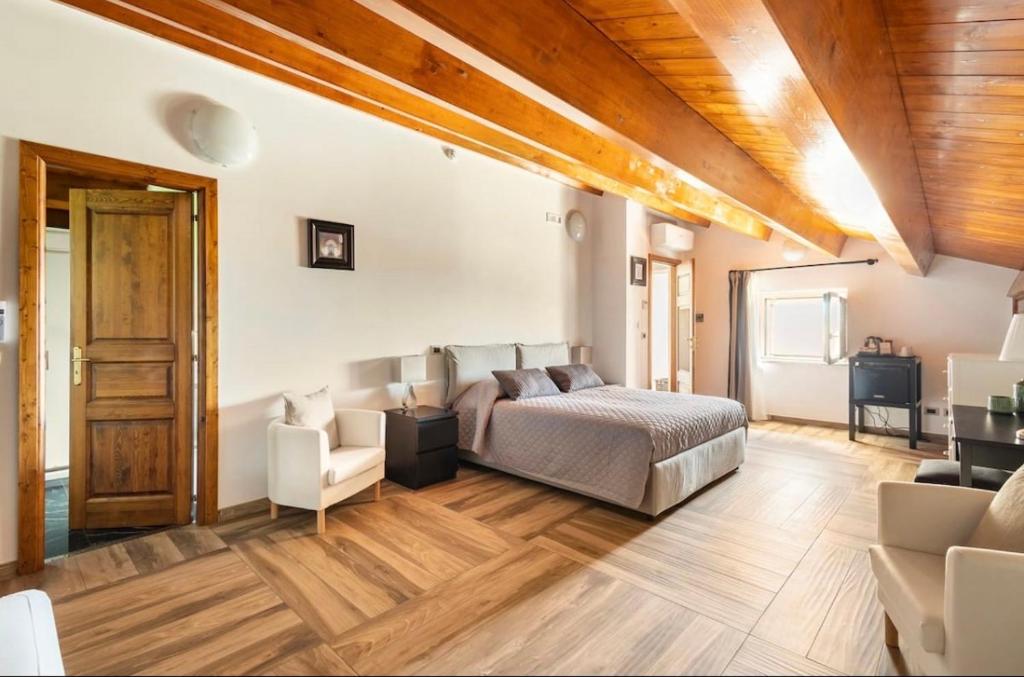
Historic five-room B&B in central Gerace. Booking.com confirms the exact Via Zaleuco property and free parking.
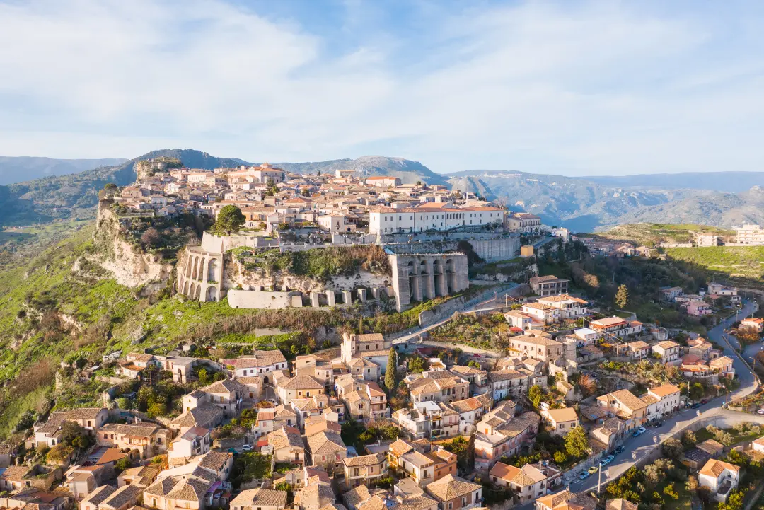
Recently renovated B&B in Gerace with an excellent historic-centre location; Booking.com confirms the exact property and private parking.
Small B&B in Gerace's historic centre, close to the Norman Castle and Cathedral; Booking.com confirms free parking.
Traditional Calabrian cooking with local products in a historic-palace setting. The official restaurant page provides direct contact details for reservations.
Local flavours: look for bergamot, caciocavallo and ’nduja. These are useful reference points for the southern Calabrian table without tying the recommendation to a single restaurant.
A compact cultural visit after parking the bike; the cathedral, lanes and castle ridge are all within the historic centre.
Gerace’s civic heart, framed by historic palazzi and used for centuries as the town’s principal gathering place.
It is the most practical place to begin a compact walk through the medieval centre.
The immense Romanesque-Norman cathedral is the architectural landmark of Gerace and one of Calabria’s major medieval churches.
Its scale feels especially striking inside the tight stone fabric of the hill town.
This former Franciscan church preserves a notable medieval portal and a richly decorated seventeenth-century marble altar.
The adjoining convent area recalls Gerace’s long monastic history.
The ruined Norman castle occupies the highest edge of the old town and gives the walk a natural final viewpoint.
From the ridge the Locride landscape opens below Gerace towards the Ionian side.
Stage two begins by dropping from Gerace towards Locri before returning inland through Gioiosa Ionica and Mammola. The climb to Passo della Limina is one of the day’s defining riding sections: wooded ridges, changing radii and a noticeably cooler feel than the coast.
After the Ionian run through Soverato, the route turns inland once more through Fossato Serralta, Taverna and Albi. This is mountain Calabria rather than postcard coast: quieter roads, longer gaps between services and surfaces that can vary after winter or heavy rain. Keep fuel margin and allow time for slower local traffic through villages.
The final approach to Lorica reaches the high Sila plateau and the shores of Lake Arvo. The temperature drop, pine forest and open water make the arrival feel like a different region entirely. It is the most technical stage in terms of sustained secondary-road concentration.
A monumental start to the second stage.
Ionian coastal town near ancient Locri Epizephyrii.
Gateway back towards the interior.
Mountain town known for art and regional cooking.
Forested ridge crossing between Aspromonte and Serre.
Ionian seafront and useful services stop.
Quiet inland road towards the Sila.
Historic Sila foothill town associated with Mattia Preti.
Transition into higher Sila scenery.
Lakeside finish in the Sila National Park.

Four-star lakeside hotel in Lorica overlooking Lake Arvo, well positioned for the Sila overnight.
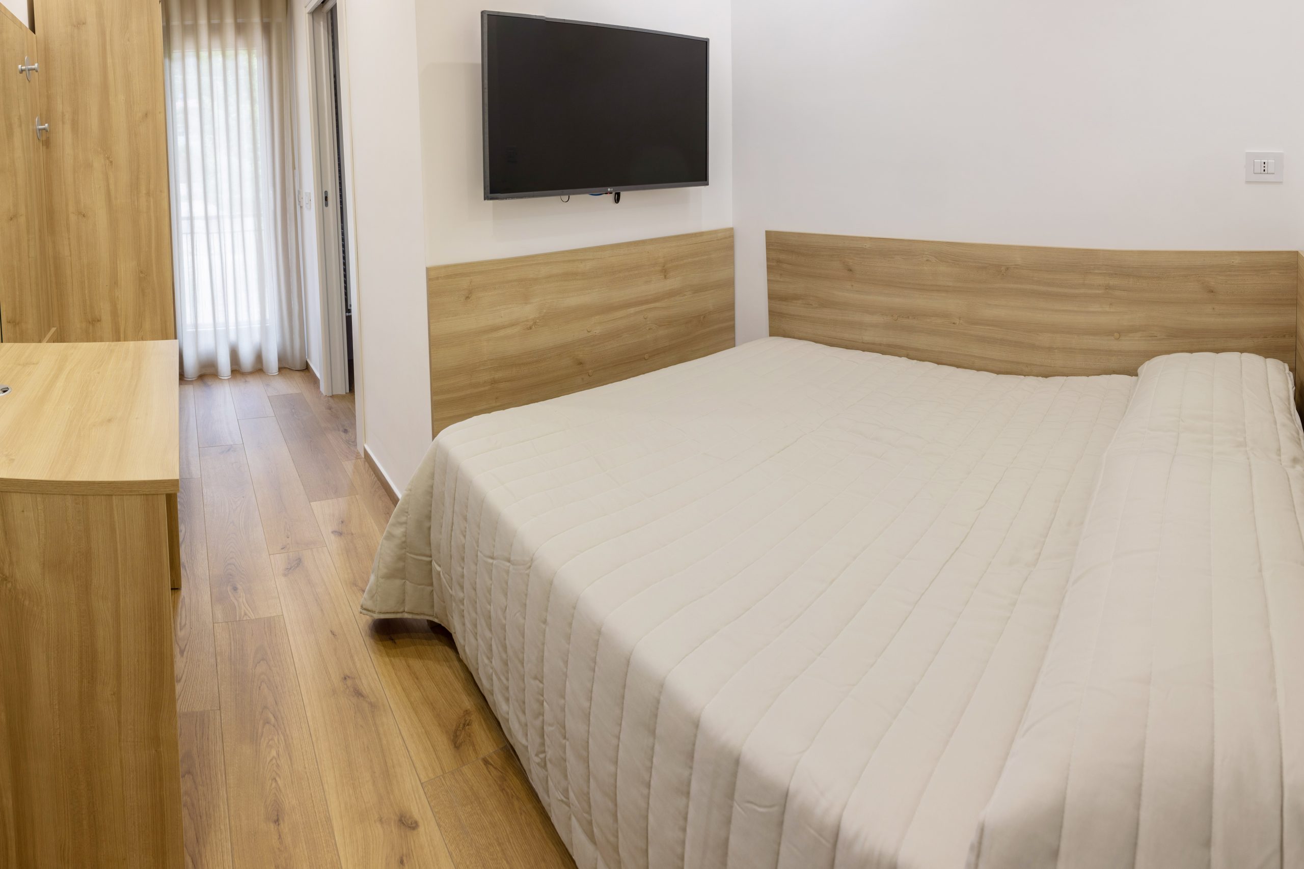
Compact lakeside accommodation connected to Loricaly's outdoor-activity hub and the Lake Arvo waterfront.
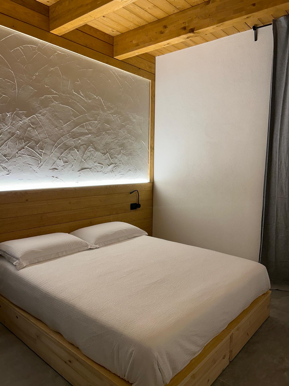
Small Sila accommodation close to Lorica and Lake Arvo, with direct information from its own website.
Lakeside Loricaly dining option that can be requested together with a stay or local activities through the official experience form.
Local flavours: the Sila is known for highland potatoes, porcini mushrooms and caciocavallo. The cooler plateau naturally favours heartier mountain cooking.
A bookable guided e-bike experience in Lorica and the Sila, well matched to the Stage 2 lakeside finish. Check live availability and starting times before arrival.
Lorica’s small parish church sits among the Sila pines close to the lakeside settlement.
Its stone-and-timber mountain character immediately reflects the cooler highland setting.
The lakeside promenade is the easiest place to appreciate the scale and calm of Lake Arvo on foot.
Open water, wooded slopes and changing light make this the visual centre of the overnight stop.
Loricaly is the main lakefront outdoor-activity hub, with seasonal boat, bike-boat and e-bike services.
It also provides a useful orientation point for the developed section of the waterfront.
This verified lakeside point gives an open view across Lake Arvo towards the surrounding Sila forest.
It is a simple, low-effort finish to the walk rather than a separate excursion.
From Lorica, the route stays high across the Sila before passing San Giovanni in Fiore-area roads and Camigliatello Silano. The opening kilometres are cool, forested and flowing, with enough bends to stay engaging without the intensity of the previous stage.
The landscape changes again on the run to Morano Calabro and the Pollino foothills. Mormanno, Papasidero and Orsomarso bring narrower roads, stone villages and deeper valleys. These are not high-speed roads: blind corners, local traffic and occasional rough edges make smooth inputs and conservative sight-line riding the right approach.
The final descent reaches Scalea and the Tyrrhenian coast before finishing in Praia a Mare. After a day that begins beside an upland lake and ends beside Dino Island, this is perhaps the route’s strongest demonstration of Calabria’s vertical variety.
Highland lake at the start of Stage 3.
Open Sila riding on SP roads.
Sila secondary-road scenery.
Mountain resort and practical coffee stop.
Striking hill town below the Pollino massif.
Pollino gateway on the western descent.
Deep-valley village near the Lao river landscape.
Mountain village on the route to the coast.
Tyrrhenian coastal transition.
Sea-level finish facing Dino Island.

Central, family-run hotel close to Praia a Mare's beach and evening centre.
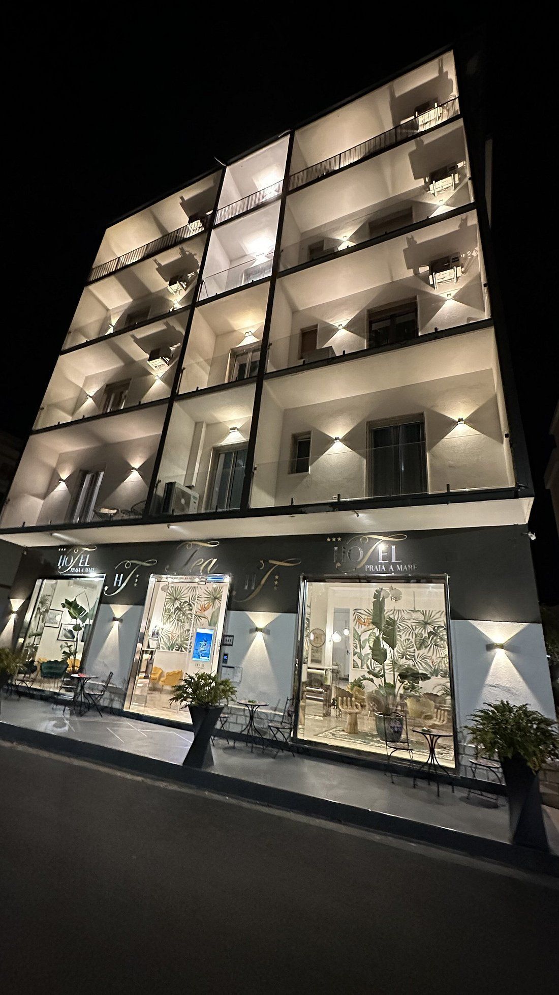
Modern seafront-area hotel; its official site explicitly lists monitored parking for cars, motorcycles and bicycles.
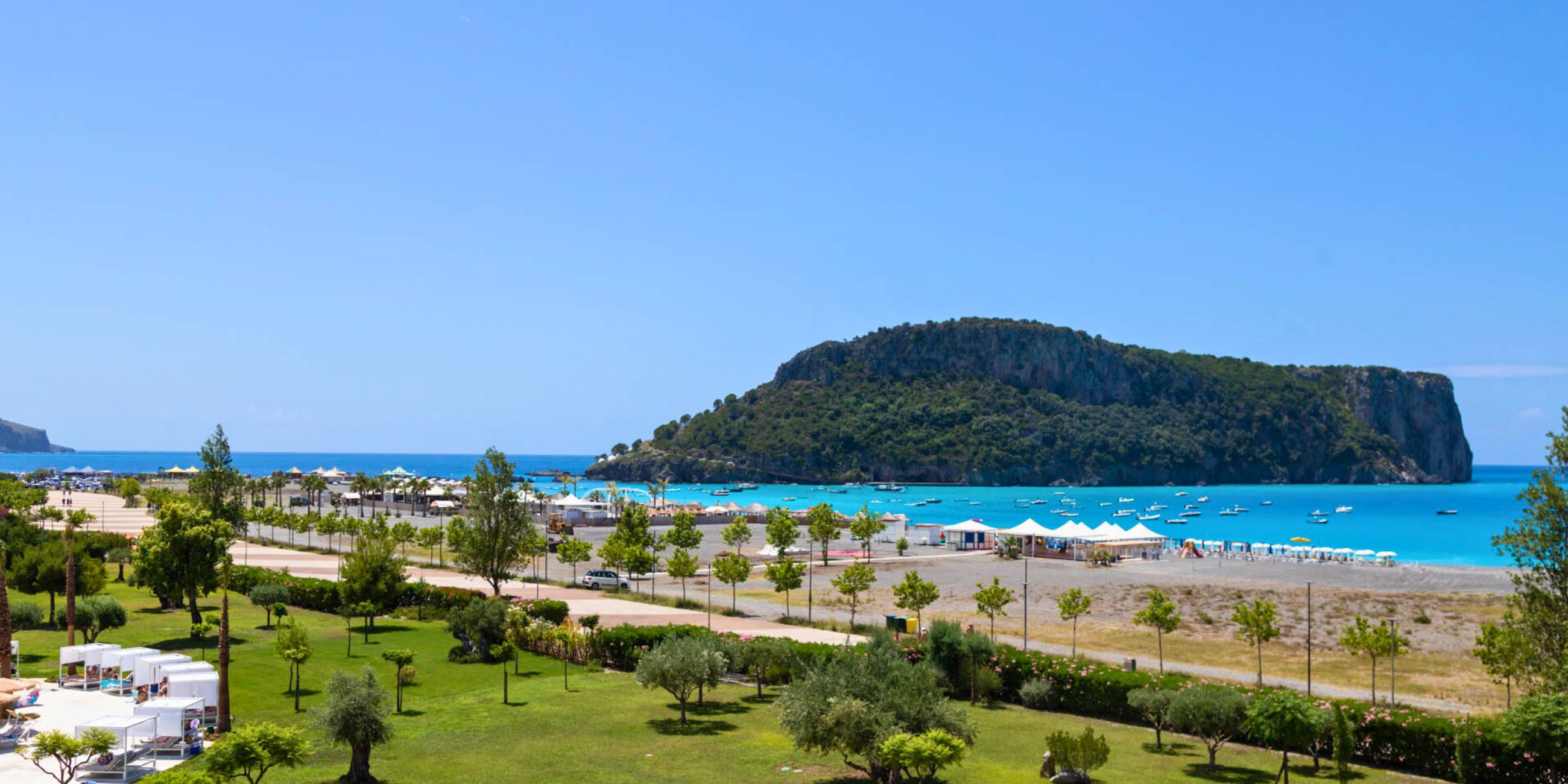
Large resort facing Dino Island, useful when you prefer a full-service seafront stay.
Mediterranean and Calabrian cooking in the centre of Praia a Mare; online table reservations are available through TheFork.
Local flavours: coastal cooking brings fresh fish together with Calabria’s peperoncino. Nearby Diamante is strongly identified with chilli culture, while the inland section keeps mountain cheeses and cured meats in the mix.
A two-hour eco boat trip from the Praia a Mare area around Dino Island, Arcomagno and the Blue Grotto, including a swimming stop. Subject to sea conditions and live availability.
Piazza Italia is a practical central meeting point in Praia a Mare, close to cafés, shops and the seafront grid.
It gives the walk an easy starting point after checking into accommodation.
The promenade opens the walk to the Tyrrhenian Sea and the long beach that defines the resort town.
Evening light often gives clear views north and south along the coast.
The municipal building anchors a recognisable civic point in the centre and avoids an ambiguous generic seafront stop.
The surrounding streets connect directly between the beachfront and the older inland axis.
The sanctuary occupies a natural cave at the foot of Monte Vingiolo above the centre of Praia a Mare.
A long stairway climbs to the grotto, making this the most distinctive cultural stop and a fitting end to the walk.
The final stage follows Calabria’s Tyrrhenian side south from Praia a Mare. Diamante, Belvedere Marittimo and Paola provide a sequence of coastal views and compact centres, with the sea never far away. Traffic is more likely here than in the Sila, especially in summer, so an early departure pays off.
South of Paola the route continues through Amantea and Falerna, alternating faster coastal links with town approaches and short elevated sections. This is the least technical stage, but the combination of heat, tourist traffic and frequent junctions means it still rewards concentration. If pre-booked, the visitor programme at Statti near Lamezia Terme can be treated as an optional wine-estate detour rather than a compulsory waypoint.
The loop closes in Pizzo, where Castello Murat, the cave church of Piedigrotta and a proper tartufo make a strong final stop. Compared with the previous three days, the shorter distance leaves useful time for the old town before departure.
Coastal start with Dino Island offshore.
Seafront town known for murals and chilli culture.
Old town above the Tyrrhenian coast.
Home of the Sanctuary of Saint Francis of Paola.
Historic centre and castle ridge above the coast.
Long coastal views before the final run south.
Central square at the heart of Pizzo's old town and a natural final-stop anchor.
Castle associated with Joachim Murat.
Rock-cut church beside the sea.
Classic finish for Calabria's famous gelato dessert.
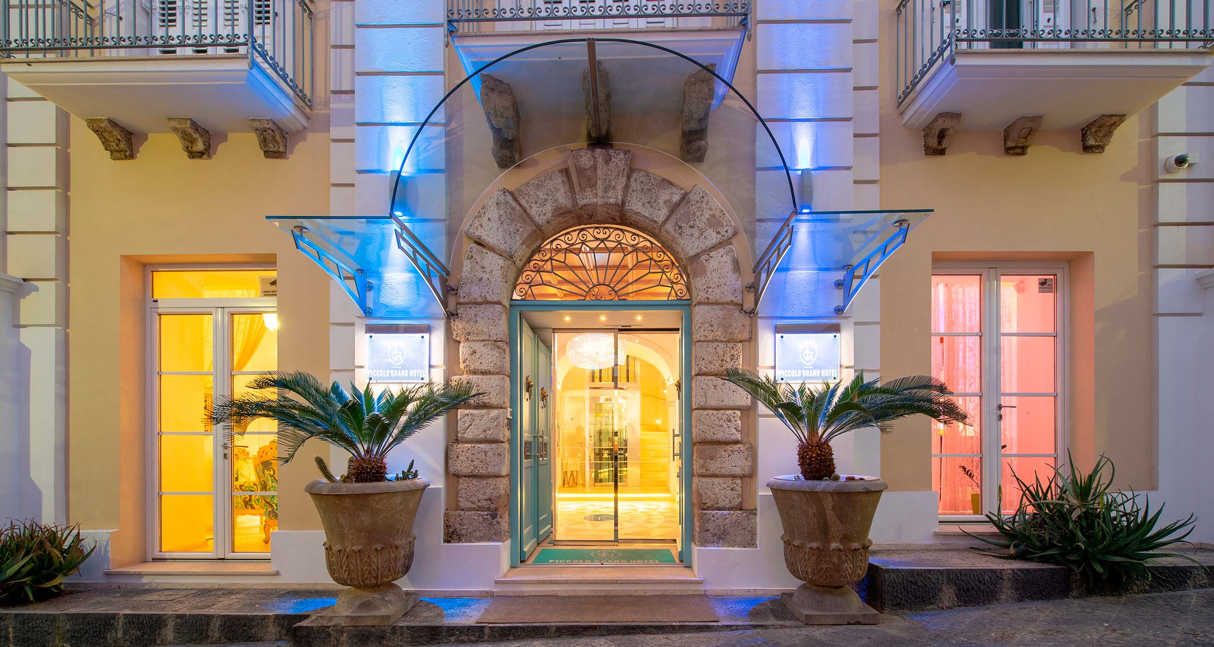
Four-star boutique hotel in central Pizzo, convenient for an evening on foot around the old town.
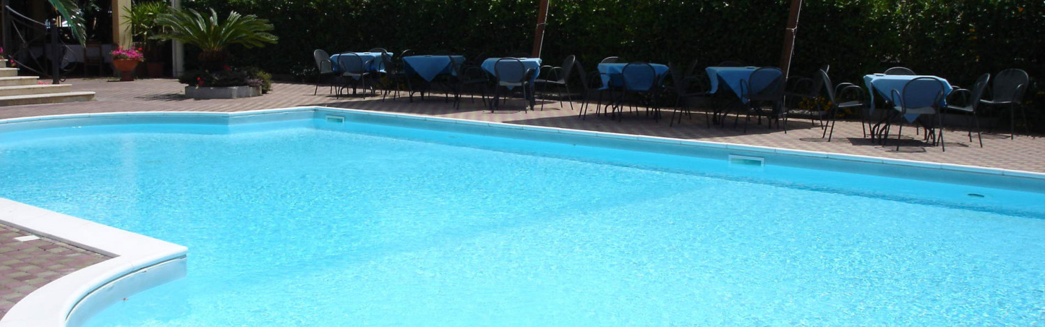
Established Pizzo-area hotel with easier road access than the old-town lanes; Booking.com confirms free private parking.

Seafront aparthotel about 2 km from central Pizzo, with apartments, pool and free on-site parking.
Contemporary Mediterranean restaurant above the Costa degli Dei; TheFork currently offers direct online table booking.
Local flavours: finish with tartufo di Pizzo and seafood from the Tyrrhenian coast. Near Lamezia Terme, the optional Statti estate grows regional varieties including Greco and Gaglioppo.
A bookable guided walking tour of Pizzo that fits naturally after closing the motorcycle loop, adding local history and old-town context without further riding.
Pizzo’s main square is the social centre of the old town and the classic place to sample the local tartufo.
Balconies and terraces open towards the Tyrrhenian coast just beyond the square.
The compact Aragonese castle is closely associated with Joachim Murat, who was imprisoned and executed in Pizzo in 1815.
Its rooms provide the strongest historical stop on the final evening.
The mother church of Pizzo stands within the old-town street pattern and contains important local religious and historical associations.
It adds a quieter architectural pause between the castle and the coastal viewpoint.
La Seggiola is a recognised coastal locality and viewpoint below the historic centre.
It finishes the loop with open sea views and a clear sense of Pizzo’s steep relationship with the coast.